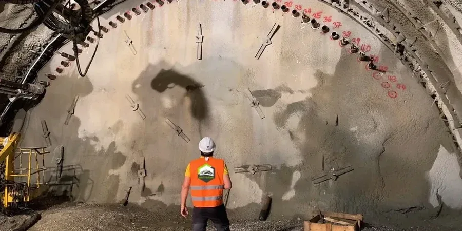
Spokane’s freeze-thaw cycles tear through weak excavation faces faster than most contractors expect. The basalt bedrock is solid but the overlying glacial till and Missoula flood silts shift with moisture. This mix demands continuous geotechnical excavation monitoring that catches movement before it reaches adjacent footings. We deploy inclinometers, crack gauges and survey targets on sites across the South Hill loess belt and the Valley’s coarser deposits. The monitoring program feeds daily reports so the shoring design can adjust to real conditions. For deeper cuts near the Spokane River, where groundwater rises quickly in spring, we pair instrumentation with CPT soundings to confirm the soil profile assumed in the excavation plan.
In Spokane’s glacial soils, a half-inch of lateral movement can be the difference between a stable cut and a costly shoring failure.
How we work
Local ground factors
Spokane’s downtown sits on a paleochannel of the Spokane River, backfilled with loose alluvium and debris from the 1889 fire rebuild. Excavating there means cutting through uncontrolled fill that ravels fast when unsupported. The biggest risk is not collapse of the excavation itself. It is settlement under the adjacent brick buildings, many of them on shallow stone footings from the early 1900s. Without geotechnical excavation monitoring, a small loss of ground goes unnoticed until cracks appear in the historic masonry. The basalt bedrock downtown is also notoriously irregular. A drill log from one corner of the site does not predict what the excavator hits 40 feet away. Instrumentation bridges that gap.
Applicable standards
IBC 2021 Chapter 33, OSHA 29 CFR 1926 Subpart P, ASCE 7-22
Associated technical services
Shoring performance monitoring
Inclinometers and load cells on soldier pile and tieback walls. We track deflection against the design envelope and trigger contingency measures if movement accelerates.
Adjacent building protection
Pre-construction condition surveys plus continuous crack monitoring and settlement points on structures within the zone of influence.
Groundwater and vibration control
Piezometers to manage dewatering drawdown, plus seismographs to keep blasting and compaction within City of Spokane limits.
Typical parameters
Quick answers
What does geotechnical excavation monitoring cost in Spokane?
Programs generally range from US$930 to US$2,600 depending on the number of instruments, monitoring duration and reporting frequency. A small single-family lot with a few survey points sits at the lower end. A multi-story downtown excavation with automated total stations, inclinometers and daily engineering review reaches the upper range.
When is monitoring required by Spokane building codes?
IBC Section 3304 triggers monitoring when the excavation extends below the adjacent foundation’s zone of influence, typically deeper than 5 feet near existing structures. The city also requires it for any shoring design that relies on observed performance rather than conservative assumptions.
How quickly are alerts communicated to the site team?
Real-time. Automated systems send SMS and email alerts the moment a sensor exceeds its threshold. The project engineer receives the same alert and reviews the data within the hour to recommend action.
What instruments work best in Spokane’s basalt and glacial soil mix?
In-place inclinometers handle the stiff glacial till well. For the basalt interface, we rely on survey prisms and crack gauges because drilling into fractured rock for inclinometer casing is unreliable. Vibrating wire piezometers manage groundwater tracking in the more permeable flood deposits.
Do you monitor vibration during rock excavation downtown?
Yes. We use seismographs set to PPV limits that protect the unreinforced masonry common in Spokane’s historic core. The threshold is typically 0.5 in/s for pre-1930 buildings, per the city’s noise and vibration ordinance.