The geophone array stretches across a basalt outcrop north of the Spokane River. A 24-channel seismograph fires and records every six meters. This is how we map the subsurface in Spokane. Seismic tomography here must punch through flood basalts, glacial lake silts, and coarse outwash gravels deposited by the Missoula floods. The method sends a seismic wave into the ground and measures its travel path. Refraction tomography tracks the wave along material boundaries. Reflection tomography captures energy bounced back from deeper interfaces. The result is a velocity profile that reveals rock rippability, fracture density, and hidden channels in the Rathdrum Prairie aquifer. For geotechnical engineers working near the Latah Formation interface, this data is not optional. It defines where basalt transitions to sediment. That boundary controls excavation costs and foundation type. Our crew deploys the same spread whether the site is a downtown parking garage or a transmission tower on the West Plains.
A 2D velocity tomogram shows you where the basalt really starts. A boring alone just tells you what was in the split spoon.
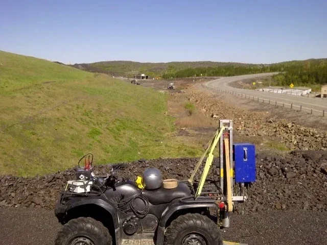
How we work
Local ground factors
ASCE 7-22 requires Site Class determination based on measured shear wave velocity in the upper 100 feet. Spokane's geologic setting makes this requirement particularly unforgiving. Much of the city sits on Quaternary flood deposits overlying Miocene basalt. The impedance contrast between loose gravel and hard basalt traps seismic energy. A site classified as Site D by boring logs alone may actually perform as Site C when the tomography reveals a thin stiff layer controlling the fundamental period. Underestimating the site class leads to higher design spectral accelerations. That means more steel. More concrete. Higher cost. The risk compounds near the Spokane fault zone, a northeast-trending structure running through the city's northern neighborhoods. Liquefaction assessment in the Spokane Valley requires knowing the depth and continuity of saturated sand lenses. Seismic tomography maps those lenses laterally between borings. It turns a point measurement into a cross-section.
Applicable standards
ASCE 7-22: Minimum Design Loads and Associated Criteria for Buildings and Other Structures, IBC 2021: International Building Code, Chapter 16 Structural Design, ASTM D5777-18: Standard Guide for Using the Seismic Refraction Method, ASTM D7128-18: Standard Guide for Using the Seismic Reflection Method
Associated technical services
Bedrock Rippability and Excavation
Seismic velocity correlates directly with rock hardness. We deliver a contour map of the basalt surface color-coded by rippability class. Contractors use it to bid excavation costs accurately for foundations, utilities, and stormwater vaults.
Fault and Fracture Zone Mapping
Reflection lines oriented perpendicular to the Spokane fault trend image offsets in the basalt reflector. We process the data to highlight low-velocity zones that indicate fractured rock and potential groundwater conduits.
Site Classification and Seismic Hazard
We combine refraction tomography with MASW to measure Vs30 and Vs100. The integrated profile supports Site Class determination per IBC and helps structural engineers optimize the seismic design category.
Typical parameters
Quick answers
How much does a seismic refraction survey cost in Spokane?
A typical refraction tomography survey in the Spokane area runs between US$2,850 and US$4,960. The final number depends on line length, number of spreads, and whether we run a single array or need to roll through multiple segments. Sites with thick asphalt or limited access add mobilization time. We provide a fixed-price proposal after reviewing the site plan and geologic map.
What is the difference between refraction and reflection tomography?
Refraction maps a velocity gradient with depth. It works best when velocity increases downward, like soil over basalt. Reflection images specific interfaces where density and velocity change sharply. It works regardless of velocity structure. For deep targets below 60 feet in Spokane's basalt terrain, reflection is usually the better tool.
Can seismic tomography work on paved surfaces in downtown Spokane?
Yes. We use flat-base geophones that couple to asphalt or concrete without drilling. The energy source is a weight drop that does not damage the pavement. Noise from traffic and utilities requires shorter shot intervals and a quiet recording window. Early morning surveys typically produce the cleanest data in urban areas.
How do you calibrate seismic velocity to actual soil type?
The reference range for this service in Spokane is US$2.850 - US$4.960. The final price depends on the project scope and volume.